
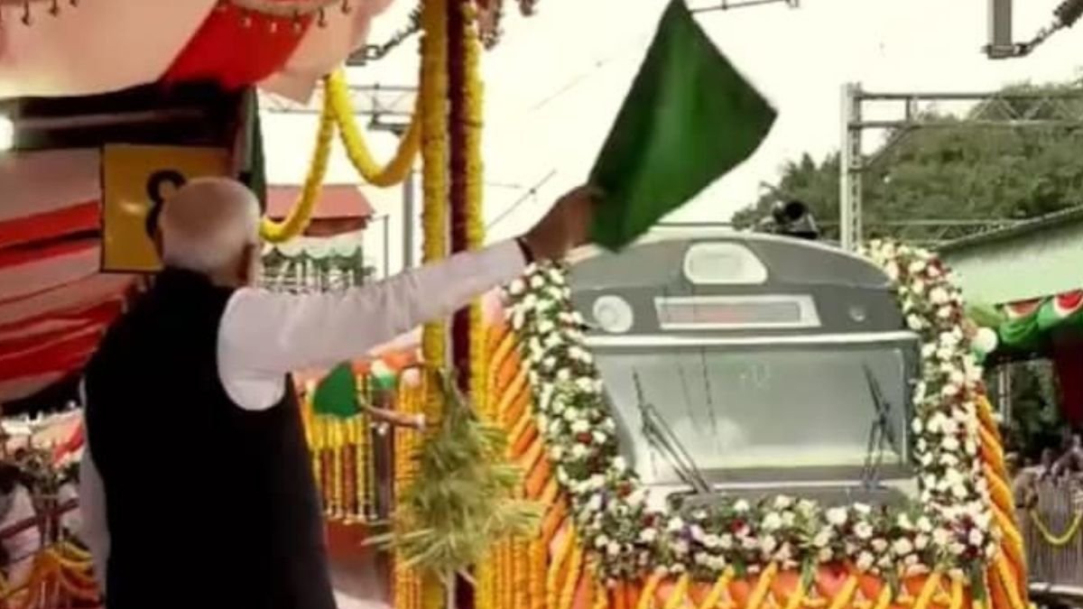
The Bangalore Metro Map is getting a major upgrade with the addition of the much-awaited Yellow Line of Namma Metro. Prime Minister Narendra Modi has officially inaugurated this crucial metro corridor, alongside the launch of a new Vande Bharat Express service. While the new Yellow Line promises to revolutionize commuting for thousands of residents, especially tech workers in Electronic City, the entire stretch is expected to be fully operational by early 2026.
In this detailed guide, we’ll explore the Bangalore Metro Map updates, the routes covered by the Yellow Line, key benefits for daily commuters, connectivity to other lines, and how this expansion is set to reshape the city’s public transportation network.
What is the Bengaluru Metro Yellow Line?
The Yellow Line is a vital addition to the Bangalore Metro Map, connecting Rashtreeya Vidyalaya Road (RV Road) in the south to Bommasandra in the southeast. Spanning approximately 19 kilometers and featuring 16 stations, it is one of the longest uninterrupted stretches in Bengaluru’s metro network.
This corridor runs through several densely populated residential zones, bustling commercial hubs, and major industrial areas. With its strategic alignment, the Yellow Line fills a significant gap in the existing Bangalore Metro Map, offering direct connectivity to major IT parks and reducing the city’s notorious traffic congestion.
Areas Connected by the Yellow Line
The Yellow Line is a commuter’s dream, linking some of the most important areas in the city:
- RV Road
- Jayadeva Hospital
- Central Silk Board
- HSR Layout
- Electronic City Phase 1 & Phase 2
- Bommasandra
For IT professionals working in Electronic City, the Yellow Line is a game-changer. Instead of relying on slow-moving road traffic, they can now depend on a fast, punctual metro ride. This addition to the Bangalore Metro Map also serves residents in growing suburbs, improving accessibility and property value in these areas.
How the Yellow Line Will Reduce Travel Time
One of the biggest advantages of this expansion is time savings. The current road journey from RV Road to Bommasandra can take over 90 minutes during rush hour. With the Yellow Line, this commute is reduced to just 35 minutes.
This upgrade to the Bangalore Metro Map also means:
- Reduced congestion on Bannerghatta Road, Hosur Road, and the Outer Ring Road.
- Fewer private vehicles on the road, cutting pollution levels.
- Predictable travel times, even during peak hours.
Connectivity with Other Metro Lines
An effective metro system is defined by its interconnectivity, and the Yellow Line does not disappoint.
- RV Road Interchange: Connects with the Green Line for north-south travel.
- Central Silk Board Junction: Future interchange point with the upcoming Blue Line for better east-west connectivity.
With these linkages, the Bangalore Metro Map becomes more versatile, giving commuters multiple route options to reach different corners of the city.
Key Benefits for Tech Park Commuters
Bengaluru is India’s Silicon Valley, and the Yellow Line expansion is designed with tech professionals in mind. Some of the most significant benefits include:
- Direct metro access to major IT hubs in Electronic City.
- Quicker commutes for employees of Infosys, Wipro, Tech Mahindra, and other tech giants.
- Reduced dependency on office shuttle buses and private cabs.
- Cost-effective travel compared to fuel and parking expenses.
With these changes, the Bangalore Metro Map becomes a stronger asset for the city’s booming IT industry.
When Will the Entire Yellow Line Be Fully Operational?
While much of the Yellow Line infrastructure is ready, certain segments still require integration and testing. Officials have stated that the full stretch is expected to operate without interruptions by early 2026.
Until then, commuters can expect phased openings as sections are cleared for public use, progressively enhancing the Bangalore Metro Map coverage.
Other Major Projects Inaugurated Alongside the Yellow Line
The launch event wasn’t just about the Yellow Line. Prime Minister Narendra Modi also unveiled:
- Vande Bharat Express service, connecting Bengaluru to other key cities in Karnataka and beyond.
- Multiple road and flyover projects are aimed at easing inner-city traffic bottlenecks.
These initiatives, combined with metro expansion, show a clear push towards making Bengaluru’s transport system faster, cleaner, and more efficient.
Impact on the Bangalore Metro Map and City Life
The updated Bangalore Metro Map now shows a more integrated, extensive network that covers important residential, business, and tech zones. This not only improves travel efficiency but also:
- Encourages public transport usage, reducing road congestion.
- Boosts real estate value near metro stations.
- Improves last-mile connectivity when paired with auto-rickshaws, buses, and bike-sharing services.
Quick Facts: Yellow Line at a Glance
| Feature | Details |
|---|---|
| Length | 19 km |
| Total Stations | 16 |
| Major Stops | RV Road, Silk Board, Electronic City, Bommasandra |
| Travel Time Reduction | From 90 mins to 35 mins |
| Operational Date | Fully by early 2026 |